Geodetic Survey
Millimetre precision across thousands of kilometres.
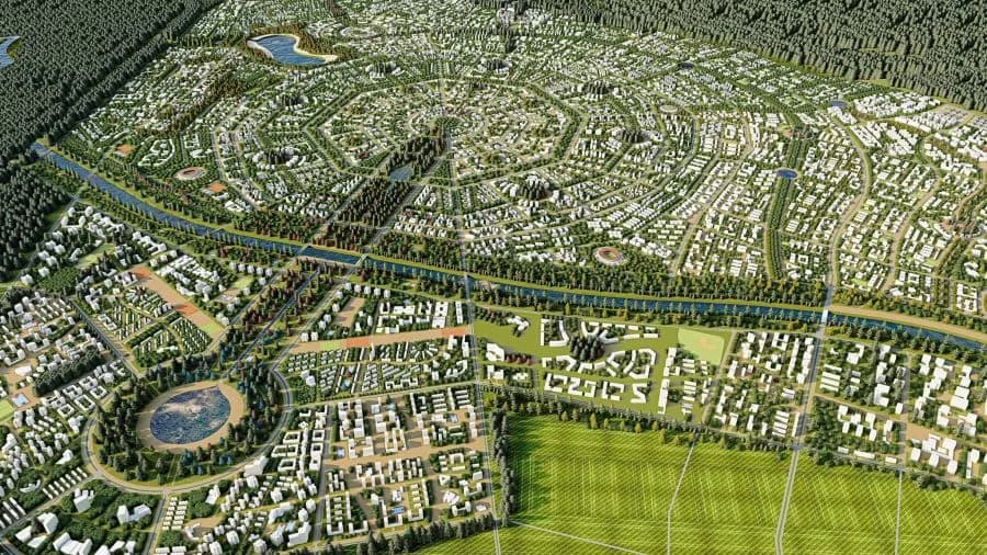
Accurate survey data is the foundation of every road design. KHZT's survey team deploys GPS/GNSS, UAV drone photogrammetry, and terrestrial laser scanning to capture terrain data across Mongolia's vast and varied landscape — from urban Ulaanbaatar to remote Gobi desert corridors. Our survey deliverables integrate directly into Civil 3D design environments, reducing interpretation errors and accelerating design timelines.
Deliverables
What we deliver
Topographic Survey
High-resolution terrain models (DTM/DSM) from drone photogrammetry or LiDAR for design corridor mapping.
Control Network
GPS control surveys establishing project coordinate and height datum tied to the Mongolian national system.
Corridor Strip Survey
Detailed survey of preferred alignment corridor including ground features, utilities, and boundary markers.
Drone Aerial Mapping
UAV-based orthophoto and point cloud capture for large corridor areas, processed to cm-level accuracy.
Construction Set-Out
Precise road centreline and structure set-out during construction to ensure design intent is achieved.
As-Built Survey
Post-construction survey verifying completed works against design tolerances for final certification.
Process
How we work
Planning & Control
Survey methodology agreed, control network established, and equipment calibrated before fieldwork.
Field Capture
GPS, drone flights, or ground survey completed to approved methodology and quality checkpoints.
Processing
Raw data processed to DTM, orthophoto, or point cloud format with full quality assurance check.
Design Integration
Survey data delivered in Civil 3D-compatible format for direct use by design engineers.